Road Conditions
Works Program
Please note the Road Works Program is only a guide and is subject to change. Council will update the program as changes occur. For further information, please contact Council on (07) 4079 9090 or via email to info@etheridge.qld.gov.au
Road Conditions
Etheridge Shire Council is committed to providing you with up to date information on road conditions within the Shire.
During the wet season (December to March) road conditions can be updated several times throughout the day so watch the website for the latest report.
To make the most of your road trip we ask that you stay vigilant and drive with safety as your number one priority.
Please be advised the Copperfield River Bridge at Einasleigh has speed limits & 8 ton weight limit in place.
LOCAL ROAD CONDITIONS REPORT(PDF, 267KB)
THIS REPORT IS BASED ON THE LATEST AVAILABLE INFORMATION AND IS A GUIDE ONLY.
RAIN MAY CHANGE CONDITIONS WITHOUT NOTICE.
PLEASE TAKE CARE AT ALL TIMES, ESPECIALLY ON UNSEALED SECTIONS AND CREEK CROSSINGS.
BEWARE OF FLOOD WATER.
IF NOT SURE DO NOT TRY TO CROSS.
COPPERFIELD (KIDSTON) DAM
Copperfield (Kidston) Dam is closed to the public.
Restricted Road Use Permit Application
For use in the event of Local Shire Road Closures/Restrictions by Etheridge Shire Council under the Local Government Act (Qld) 2009, s 69.
For all Queensland Transport and Main Roads Road Closures please call 131940 for permit requirements or https://qldtraffic.qld.gov.au
Restricted-Road-Use-Permit.pdf(PDF, 251KB)
Is it Flooded? Have a look
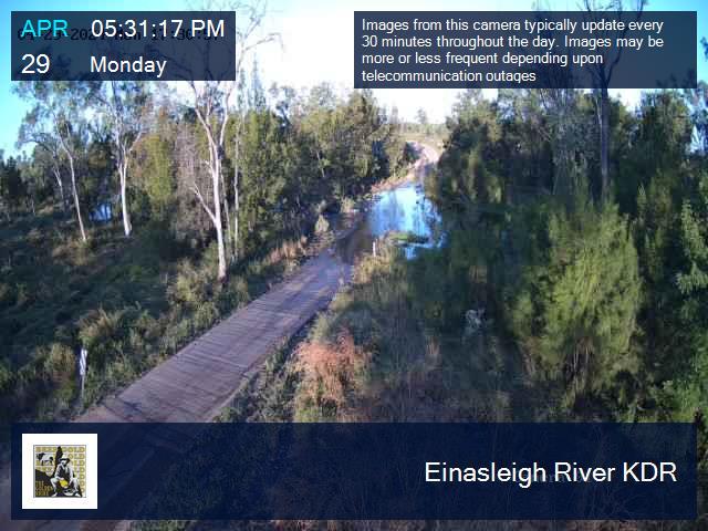
Einasleigh River Near Einasleigh - Map Location
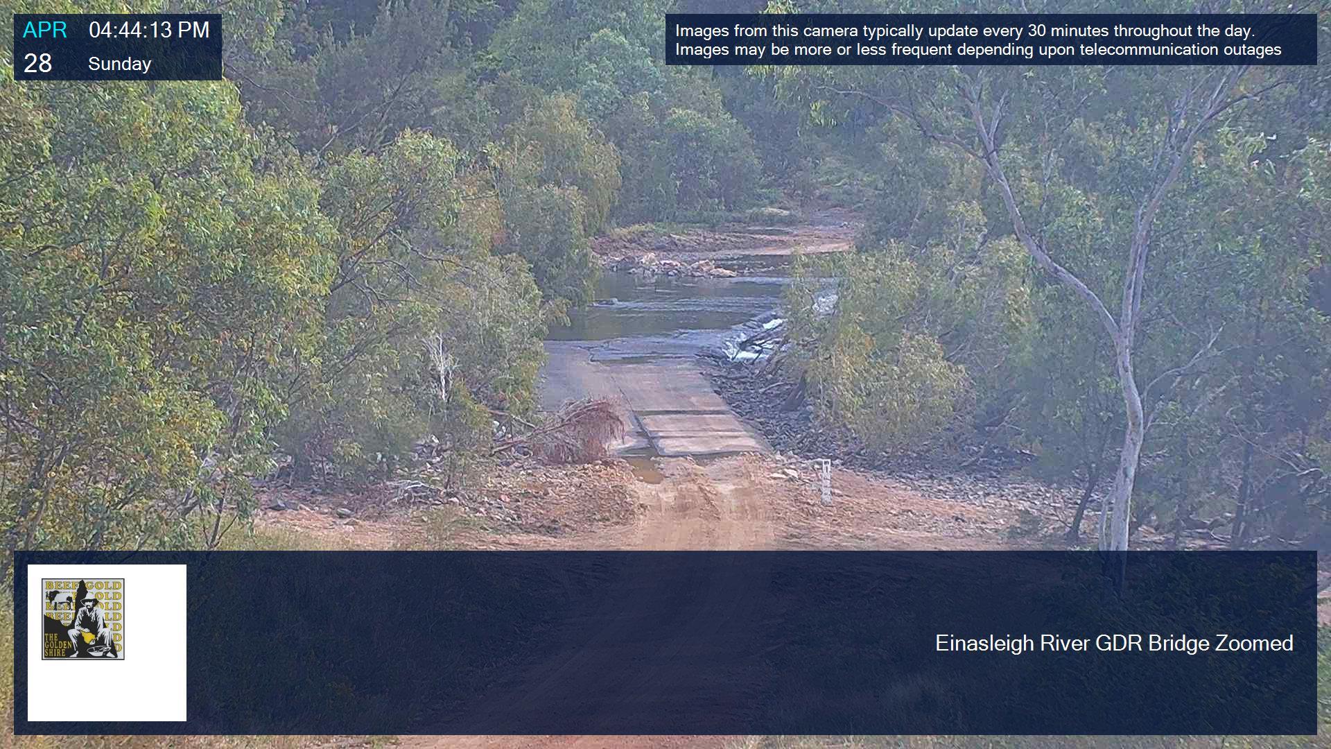
Einasleigh River on the Kennedy Development Road - Map Location
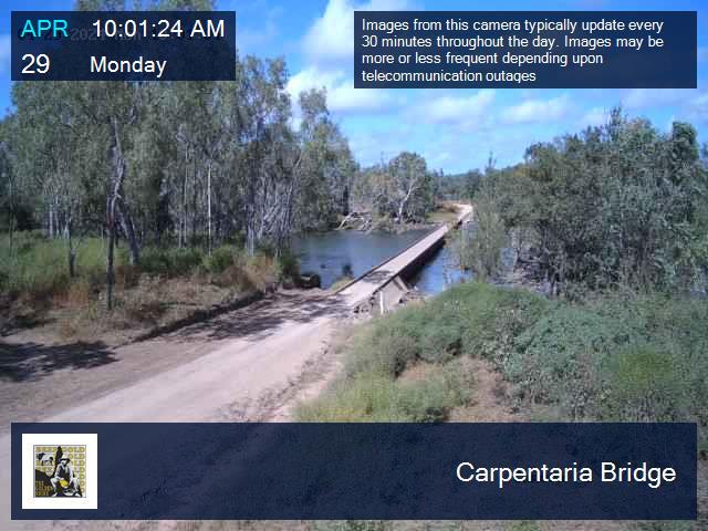
Carpentaria Bridge - Map Location
Etheridge Bridge - Map Location
IF IT'S FLOODED, FORGET IT

- If it's flooded don't even chance it.
- Where possible travel during the day to avoid the kangaroos.
- If you are on a single lane stretch of road and a large heavy vehicle is coming the other way, pull over to beside the road to let them pass (this includes vehicles carrying stock such as smaller cattle trucks & horse floats). It's a lot safer and easier for you to slow down and get off the road than it is for them.